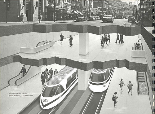
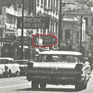
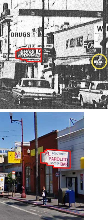
Eric Fischer brings us news that the merchants of Valencia Street are considering renaming Valencia to “South Market”.
(Wait, what’s that, Eric? I thought you said it was in the Chronicle? Ohhhh, in 1935, got it.)
“Efforts over many years to make Valencia a first-class commercial street having failed, they believe by adopting the name of South Market the desired object can be attained.”
Needless to say, the California Pioneers were unamused.
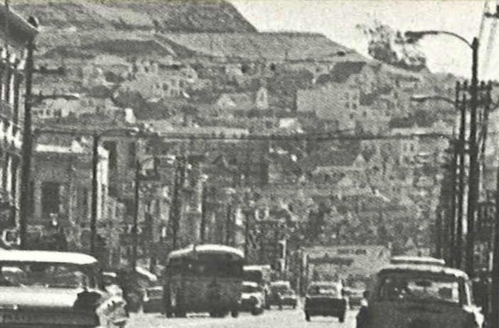
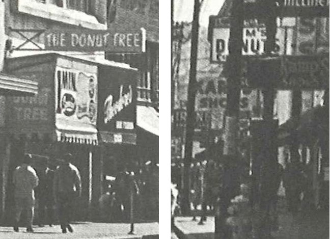
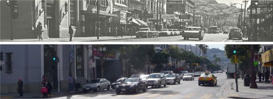
I am sure the merchants of 1935 would look upon the oasis that is Valencia St with abject horror. Then again, the shots we have of pre-1930 Valencia St certainly seem that they could have been trying harder.
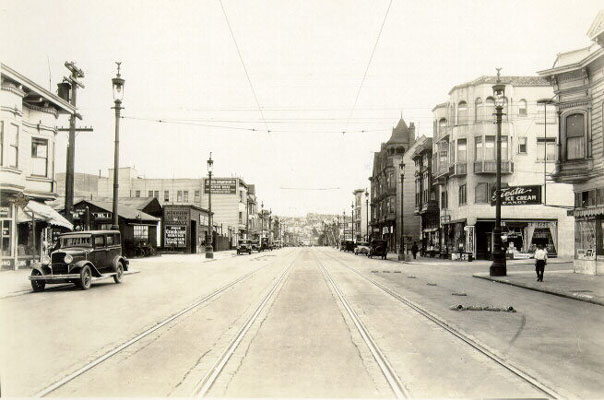
1929 , looking south down Valencia towards 24th. image via SFPL
Lest we be too hard on our great-grandparents, do note their first effort at parklets above — check out the sandbags on the right of the tracks in this shot. (Bonus points to whomever correctly guesses what they are.)
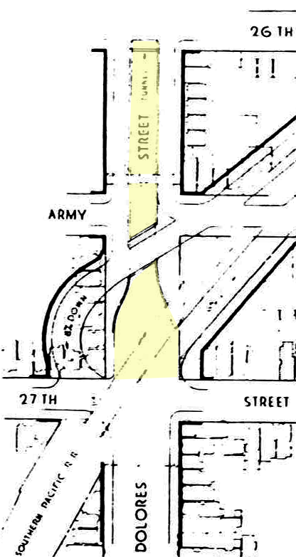
Another item captured by Eric Fischer (half-man, half-scanner) is “the Folsom-Dolores Diagonal”, a 1928 plan to convert the Southern Pacific Railway right of way into a boulevard. Eric’s original scan is on his Flickr page, but I have taken the liberty of highlighting and de-diagonalizing it for our viewing pleasure.
The Folsom-Dolores Diagonal is certainly no Mission Freeway — oh, 1928 city planners, why did not not dare to dream!
Remember this was just as they were widening the Bernal Cut (today’s San Jose exit from 280) so they were considering increased traffic flow into the city. Remember also there was no 101 / Bayshore Freeway yet — just the Bayshore *Highway*, aka today’s Bayshore Boulevard, which was also under construction in 1928.
I’ve highlighted in yellow one mysterious notation on our diagonal map:
Correct me if I’m wrong, but does that say “Dolores Street Tunnel?” There’s some pretty serious grade between 27th and 26th on Dolores (there actually was a Dolores street bridge for the old railroad) so topolographically it makes sense. But to a tunnel where? The secret bathrooms at Dolores Park? I vaguely remember 1920s transit plans for subway emerging at 26th and Dolores but I will be damned if I can find it now.
UPDATE: Eric found it – it was in the 1937 SF transit plan where a subway would run underneath the SPRR RoW.
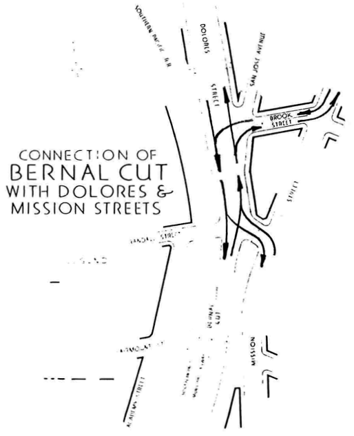
Other detail on Eric’s map includes our utterly whacked Mission / Dolores / San Jose / Randall intersection (the very tip of La Lengua) – it seems to have been implemented then:
If you need that many arrows, you have failed, sirs. Also, San Jose Ave was entertainingly narrow.
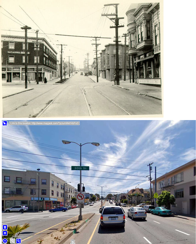
Take a look at this 1927 SFPL shot looking south down San Jose Ave, across 30th. It is completely unrecognizable compared to today. It seriously took me an hour to figure out it – even with my before/after shot it still makes my head hurt.
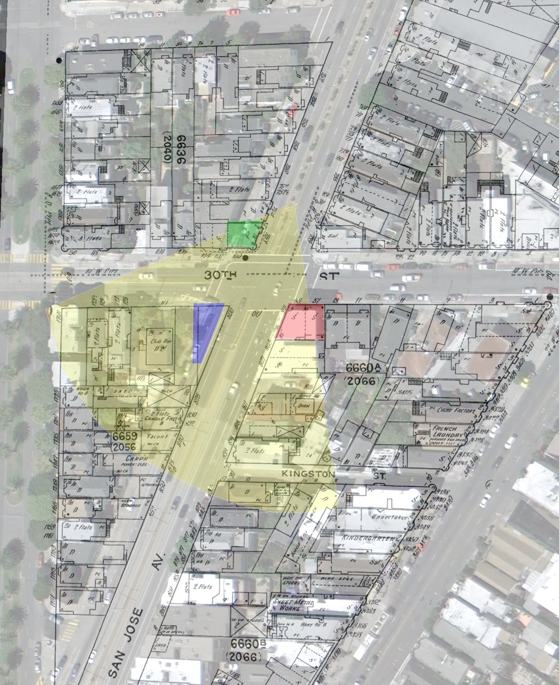
The buildings on the right (west) were all torn down when they widened San Jose and Guerrero in the 1950s. Google Earth Overlay below (click to zoom). Yellow estimates field of view for the 1927 photo.
The green overlay was the saloon you see on the right hand side of the old picture (note the fancy rounded turret window thing). Blue were the apartments across 30th on the right. All those are long gone.
The red overlay is the Carmel (a boarding house if I’m not mistaken). I really don’t know if it’s the same structure — it’s a strange shaped lot, so you kind of have to make a building in that shape. Windows seem to be in different locations too, so I’m skeptical.
Such is the actual and retrofuture Mission and La Lengua in the 1920s and 30s.


