Telstar Logistics. Laughing Squid. Burrito Justice. Mission Mission. What happens when they join forces? Mission Blog Force 2010! A veritable historical mapgasm ensues.
Laughing Squid and Telstar Logistics recently exposed us to the historical imagery feature in Google Earth. San Francisco’s 1946 layer proved irresistible, especially concerning the old SF Seals baseball stadium, now home to the Potrero Safeway and Office Depot.

As is inevitable amongst map wonks, the Telstar Logistics and Burrito Justice mapping teams started to wonder exactly where in the stores the bases were located. The alignment of the 1947 photomap is a little wobbly in Google Earth (it’s off by 30-100 feet) so we turned to another favored source for greater precision, Sanborn maps overlaid in GE. Behold the diamond of history.

In the world’s first blogging simulcast, you can see the raw base photos of the Telstar Logistics Surveying Unit along with painfully detailed overlay maps by the Burrito Justice Research Department. Telstar Logistics historical analysis will be available on Laughing Squid posthaste.
For some perspective (because that’s how we roll) here’s opening day for the Giants in 1959, their first game against LA. That’s 16th on the top and Bryant on the right.

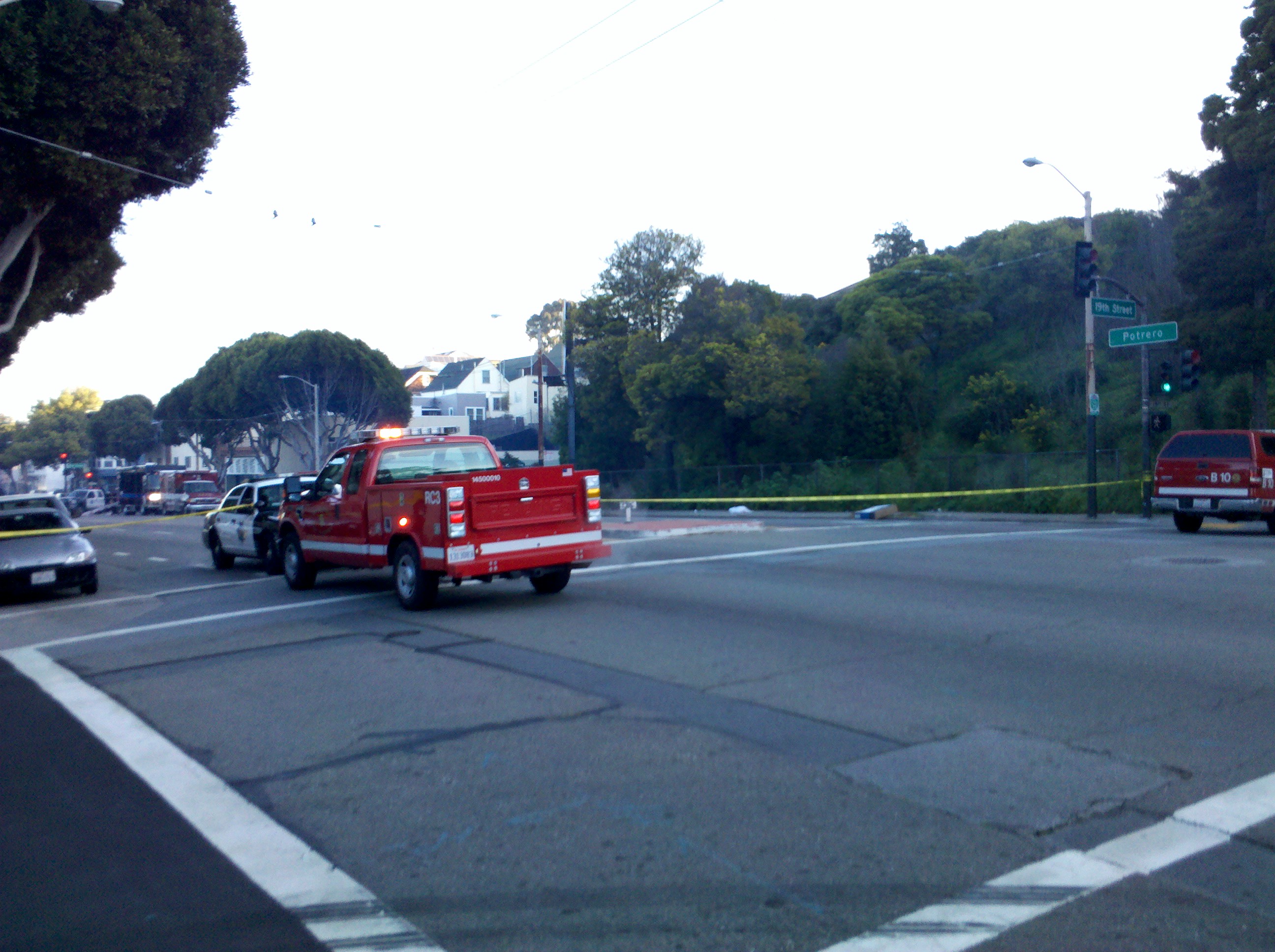
Note that history was made recording history: a blogger ACTUALLY LEFT HIS HOME and went on-site to determine that home plate and 1st are located in Office Depot, while 2nd and 3rd base in Safeway.
Below, blue tape marks third base, looking towards home plate. (Torillas in front of you, and frozen pizzas behind you, as is so often the case when you’re trying to steal home.)

To make this post even more relevant to the Mission — Seals Stadium was also home to the Mission Reds (aka the Missions) before they moved down to Hollywood in 1938.

And prior to Seal Stadium’s construction in 1930, both teams played at 14th and Valencia at Recreation Park. Think of that next time you’re at Four Barrel.
More photos and maps at TL, LS, and BJ.
")