
Ilyse Iris Magy wants you to take a closer look at your city. The local artist is working on a rad new project, Lines Made By Walking, which launches this Friday at StoreFrontLab (337 Shotwell Street). If you’re a map enthusiast, owner of any guidebooks on secret stairway walks, and/or just someone who wants to rekindle your love for this majestic-but-conflicted city, this experiment is for you.
Here’s what Ilyse has to say about Lines:
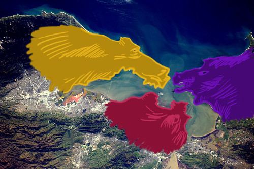
For five weekends, I will be leading walks from StoreFrontLab to locations around the perimeter of the city, going counterclockwise from North to Northeast. On each walk, we will collectively track points and moments of interest, marking them on the sidewalk with chalk and recording field notes. Throughout the month, we will transcribe these encounters in the same chalk by marking their precise locations on a map projected directly on the wall in the gallery. When the projector is off, this installation will be a scaled representation of the 7×7 mile drawing our marks make throughout the city.
Here’s what the schedule looks like:
Friday 9/19, 6-8:30PM: Opening Reception
Saturday 9/20: Walk 1: North
Saturday 9/27: Walk 2: Northwest
Sunday 10/5: Walk 3: Southwest
Wednesday 10/8, 6:30PM: Maptime SF (Open hand-drawn mapmaking night)
Sunday 10/12: Walk 4: Southeast
Saturday 10/18: Walk 5: Northeast
Sunday 10/19, 6-8PM: Completion Closing Celebration
(All walks depart from StoreFrontLab at 12PM.)
Lines Made By Walking kicks off StoreFrontLab’s 2014/15 season, City Making, a nine-month series of installations, wanderings, happenings, and conversations that look critically and optimistically at San Francisco’s future.
Register for a spot on Eventbrite, and invite your friends!


. If you’re a map enthusiast, owner of any guidebooks on secret stairway walks, and/or just someone who wants to […]</p>
%5Bvia+%3Ca+href%3D%22http%3A%2F%2Fwww.missionmission.org%2F2014%2F09%2F17%2Fdrawing-a-map-of-san-francisco-by-walking%2F%22%3EMission+Mission%3C%2Fa%3E%5D&clickthru=http%3A%2F%2Fwww.missionmission.org%2F2014%2F09%2F17%2Fdrawing-a-map-of-san-francisco-by-walking%2F)
</p>
%5Bvia+%3Ca+href%3D%22http%3A%2F%2Fwww.missionmission.org%2F2011%2F10%2F08%2Fthe-mission-is-san-francisco%2F%22%3EMission+Mission%3C%2Fa%3E%5D&clickthru=http%3A%2F%2Fwww.missionmission.org%2F2011%2F10%2F08%2Fthe-mission-is-san-francisco%2F)